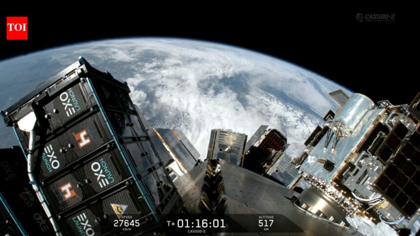
BENGALURU: Bengaluru-based space startup GalaxEye successfully launched its first commercial satellite, Drishti, aboard SpaceX’s Falcon-9 rocket on Sunday. The firm described Drishti as the “world’s first OptoSAR satellite,” marking a significant milestone in the evolution of Earth observation technologies and highlighting India’s expanding capabilities in the global space sector.
Weighing 190 kg, Mission Drishti stands as India’s largest privately developed Earth observation satellite. It is the first satellite worldwide to combine Electro-Optical (EO) and Synthetic Aperture Radar (SAR) sensors into a single operational platform. This integration allows for continuous imaging capabilities during all weather conditions and at any time of day or night, the company reported.
Drishti is engineered to “see” through clouds, darkness, and adverse weather while also capturing traditional optical imagery. It features what GalaxEye terms a “SyncFused OptoSAR” payload, which merges electro-optical imaging with synthetic aperture radar on a single platform. While optical satellites provide high-resolution images, they are compromised by cloud cover and limited visibility. In contrast, radar satellites can function in any conditions, penetrating clouds, smoke, and rain, although their imagery can be more complex to interpret.
By synchronizing and aggregating both data streams, GalaxEye claims the satellite can produce more consistent and usable imagery for ground users. The satellite is anticipated to support various applications, from border surveillance and defense monitoring to disaster response, agriculture, infrastructure planning, and insurance assessments. For example, during natural disasters such as floods and cyclones, radar imaging capabilities remain functional when optical satellites are hindered by cloud cover.
A notable feature of the satellite is its onboard artificial intelligence processing, powered by Nvidia’s Jetson Orin computing platform. Rather than transmitting large quantities of raw imagery back to Earth for analysis, some processing will occur directly in orbit, expediting the conversion of satellite imagery into actionable data, according to GalaxEye co-founder and CEO Suyash Singh.
GalaxEye indicates that Drishti can provide imagery with a resolution of 1.5 meters and has the capability to revisit locations globally every seven to ten days. The spacecraft, approximately the size of a compact refrigerator, also includes a deployable antenna that extends about three-and-a-half meters.
Previously, the company has tested its imaging systems through nearly 500 aerial sorties involving drones, Cessna aircraft, and high-altitude platforms, as well as conducting an earlier payload flight aboard an ISRO PSLV mission under the POEM platform.
Interest in the Drishti project has emerged from both defense and civilian sectors. The company indicated that discussions have occurred with various Indian government departments, including those focused on defense and agriculture, as well as organizations such as the Defence Space Agency and the Indian Armed Forces.
Following the successful launch of Drishti, GalaxEye has formed distribution partnerships in over 20 countries and plans to develop a larger constellation of 8 to 12 satellites within the next four years, aimed at achieving even higher-quality imagery.