NEW DELHI: In a significant advancement, the Indian Space Research Organisation (ISRO) has successfully mapped every village in the country from space. This satellite data is expected to greatly assist gram panchayats in decentralized planning, asset monitoring, and enhancing grassroots governance.
On National Panchayati Raj Day, ISRO announced the completion of high-resolution land use and land cover mapping for the entire nation at a scale of 1:10,000. This scale means that one centimeter on the map represents 100 meters on the ground, providing a detailed view that can differentiate between a paddy field and a pond.
According to the 2011 Census, India consists of 649,481 villages. ISRO has made the satellite data available to government organizations. “This dataset supports gram panchayat development plans and is integrated as one of the information layers on the Grammanchitra (village map) web portal of the Ministry of Panchayati Raj, enabling stronger, data-driven governance at the grassroots,” ISRO stated on its X account.
The Grammanchitra web portal is designed to assist local bodies in making data-informed development decisions. The mapping initiative will facilitate the effective preparation of gram panchayat development plans, promoting data-driven decision-making and aiding in the identification of land resources and usage patterns. The overall outcome is expected to enhance transparency and accountability in the implementation of government projects in rural India.
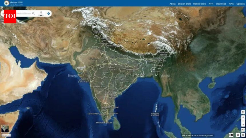
This effort is part of a broader initiative utilizing satellite imagery, including data from ISRO’s Bhuvan geoportal, for applications in disaster management, agricultural planning, and infrastructure development across rural and remote areas. The comprehensive mapping of all villages in India is anticipated to significantly reinforce grassroots democracy.