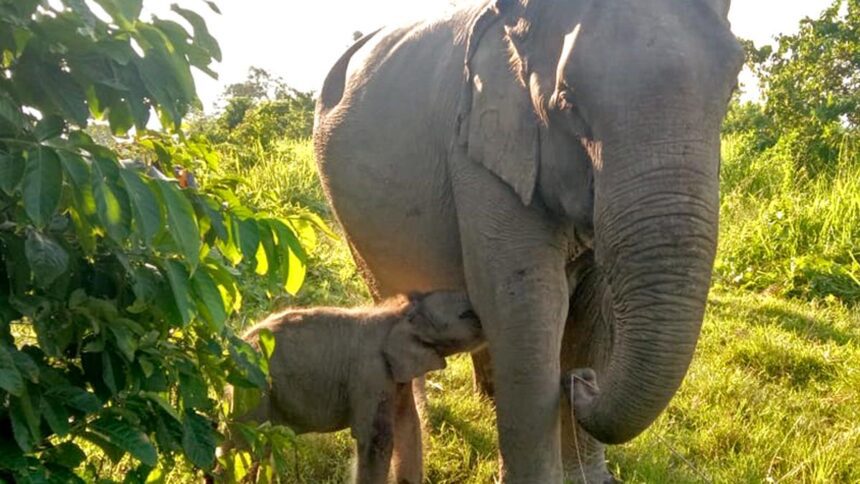
Karnataka, Assam, and Tamil Nadu collectively house 59.29% of India’s estimated 22,466 elephants, according to a report published by the Wildlife Institute of India (WII) in Dehradun on October 14, 2025. The report, titled Status of Elephants in India: DNA-based Synchronous All-India Population Estimation of Elephants, highlights the significant role of seven northeastern states and part of West Bengal, which support 6,559 elephants.
WII officials noted that the population estimation for the period 2021 to 2025 utilized a DNA-based mark-recapture method, a first for the nation, drawing parallels to techniques used in monitoring tigers, co-predators, and prey. Due to alterations in methodology, the new figures are not directly comparable to previous data and should be regarded as a new baseline for future research.
Karnataka is reported to have the largest population with 6,013 elephants (range: 4,792 to 7,235), followed by Assam with 4,159 (range: 3,395 to 4,924) and Tamil Nadu with 3,136 (range: 2,688 to 3,585). Together, these three states account for nearly 60% of the national elephant population, with a total of 13,308 elephants.
Karnataka, Tamil Nadu, and Kerala collectively host 11,934 elephants, representing 53.17% of the all-India estimate. These southern states are categorized within the Western Ghats landscape. The North Eastern Hills and Brahmaputra Flood Plains landscape, which includes Arunachal Pradesh, Assam, Manipur, Meghalaya, Mizoram, Nagaland, Tripura, and northern West Bengal, is home to 22.22% of the country’s elephants.
The Shivalik Hills and Gangetic Plains landscape, comprising Uttarakhand, Uttar Pradesh, and Bihar, as well as Central India and the Eastern Ghats, which cover seven states including Andhra Pradesh and southern West Bengal, hold 9.18% and 8.42% of the national elephant population, respectively.
The study consisted of three phases. The initial phase involved ground surveys in forested areas across all tiger-bearing states to identify elephant presence and related information. Researchers employed a mobile application to document carnivore and mega-herbivore signs, ungulate population counts, vegetation status, and human disturbances. This data was crucial for modeling elephant occupancy.
Phase Two involved evaluating habitat characteristics and human impacts, including vegetation cover, forest patch sizes, human footprint, and light exposure. A total of 21,056 dung samples were collected over 666,977 km covered by the estimators on foot for the third phase.
“Multiple covariates related to elephant density—such as distance to water, terrain ruggedness, and human footprint metrics—were assessed, with the most robust predictors of elephant densities identified in the Western Ghats and the Shivalik Hills-Gangetic Plains landscapes,” the report stated. “In Central India and the Eastern Ghats, the elephant encounter rate and distance to water were the most significant variables. For Northeast India, the encounter rate comprising signs and dung from Phase I data proved a strong predictor of elephant densities,” the document concluded.