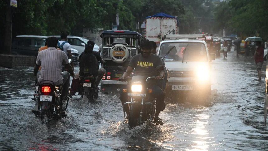
The South-West monsoon season concluded with India receiving 7.9 percent more rainfall than the long-term average during the June to September period, according to the India Meteorological Department (IMD). Approximately 91 percent of the geographic area reported ‘normal’ or above-normal rainfall. However, the excess rainfall in several regions led to floods and crop damage, potentially hindering the achievement of targeted Kharif production, particularly for oilseeds and pulses. This may influence the outcomes for winter season crops.
Total seasonal rainfall was recorded at 93.72 cm, surpassing the long-period average of 86.86 cm based on data from 1971 to 2020. For comparison, last year’s monsoon rainfall was slightly lower, at 93.48 cm. The IMD categorizes rainfall between 104 and 110 cm as “above normal.”
Significantly, the South-West monsoon contributes 75 percent of India’s annual rainfall, which averages at 116 cm, and is crucial for crop production since 48 percent of cultivable land remains unirrigated. This year’s geographical distribution showed that the Central meteorological division received 15 percent surplus rainfall, the southern peninsula enjoyed a 10 percent increase, and the north-west region saw a 27 percent uptick in precipitation. Conversely, the east and north-eastern region experienced a 20 percent deficit, yet still recorded a respectable 109 cm of rainfall, just shy of the 113 cm measured in the central region.
A meteorological expert noted that while total rainfall and distribution patterns remained close to last year’s figures, significant fortnightly variations were apparent this year. For instance, national data indicates that the first half of August registered a 20 percent deficiency in rainfall, while the latter half showed a 33 percent surplus.
In terms of regional specifics, Ladakh recorded 9.86 cm of rainfall—342 percent above its normal of 2.23 cm. Rajasthan received the most rainfall among states, accumulating 71.39 cm, which is 64 percent more than its normal of 43.6 cm. In contrast, Bihar, Assam, and Arunachal Pradesh faced significant deficiencies, reporting precipitation over 30 percent below normal levels.
In comments regarding the monsoon’s overall performance, IMD’s Director General Mrutyunjay Mohapatra referred to the season as “very successful” despite numerous adversities, including cloudbursts, landslides, and mudslides. He mentioned that the rainfall over east and north-east India was the second lowest recorded since 1901, noting a trend towards decreased rainfall in this region over the past 20 years.
Discussing the high rainfall in September, Mohapatra noted it surpassed normal levels by 15.3 percent, with Central India experiencing a 44 percent increase, the north-west region 31 percent, and the southern peninsula 12 percent. Conversely, the east and north east faced a 31 percent deficit in precipitation.
The chief of IMD attributed September’s heavy rainfall to the Sea Surface Temperature in the Equatorial Pacific Ocean, which was measured at -0.4 degrees—close to the La Niña threshold of -0.5 degrees. This resulted in circulation features akin to a La Niña pattern that enhances rainfall activity in India. Additionally, four low-pressure systems developed during September, with one intensifying into a Deep Depression and another into a Depression. The Madden-Julian Oscillation also played a role, being conducive to increased rainfall for several days in phase 2 and 3 over the Indian Ocean, despite its overall weakness during most of September.
Published on September 30, 2025.